-40%
181 maps MINNESOTA state PANORAMIC genealogy old HISTORY atlas DVD
$ 3.16
- Description
- Size Guide
Description
Your browser does not support JavaScript. To view this page, enable JavaScript if it is disabled or upgrade your browser.Click Here. Double your traffic. Get Vendio Gallery - Now FREE!
Rare Map Collection
This DVD is part of our Historic Map and Atlas Collection.
We have dozens of Atlas maps on DVD and CD ranging from the 1500s to the 1900s covering many areas and topics.
Please Check our Ebay Store for what's available.
FOR MANY MORE EDUCATIONAL CD TITLES
ON THIS AND MANY OTHER SUBJECTS
PLEASE VISIT OUR EBAY STORE
VERY LARGE HIGH RESOLUTION
MAP COLLECTION
ON DVD!!
(please see full table of contents and sample illustrations below)
This DVD Contains
181 Maps of
Minnesota
Including
44 PANORAMIC MAPS
of various Minnesota Cities
These are scans of the
ORIGINAL
maps by various Cartographers.
on DVD
System requirements
PC or Mac compatible.
Files are simple PDF files with a basic HTML interface (just like viewing a webpage)
Works with ALL versions of Windows.
Maps of
Minnesota
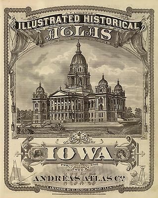
An illustrated historical atlas of the state of Minnesota.
An illustrated historical atlas of the state of Minnesota.
An illustrated historical atlas of the state of Minnesota.
Outline map of Minneapolis and St. Paul. 1897
Chippewa National Forest, Minnesota / U.S. Department of Agriculture, Forest Service. 1994
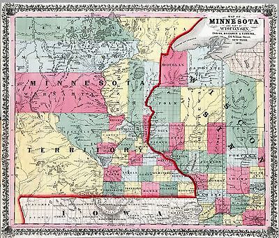
Railroad and post office map of Minnesota and Wisconsin. 1871
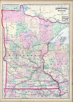
Township and railroad map of Minnesota published for the Legislative Manual, 1874.
Minneapolis and Saint Anthony, Minnesota 1867. Drawn by A. Ruger. 1867
Davisons map 25 miles around Minneapolis 1881.
Map showing the Burlington Cedar Rapids and Minnesota Railway and its connections. 1868
Map of Winona County, Minnesota. 1867.
Minneapolis, Minnesota. W. V. Herancourt, del. 1885
View of St. Paul, Minnesota. By Geo. Ellsbury and Vernon Green. 1874
Panoramic view of the city of Red Wing, Goddhue [sic] Co., Minnesota, 1880 / Shober & Carqueville, Lith., Co.
Carte de la riviere Longue : et de quelques autres, qui se dechargent dans le grand fleuve de Missisipi [sic] ... ; Carte que les Gnacsitares : ont dessine sur des paux de cerfs 1703
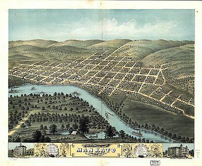
Bird's eye view of the city of Mankato, Blue Earth County, Minnesota 1870. Merchants Lithographing Co.
1883 bird's eye view of Luverne. County seat of Rock County, Minnesota. [Drawn by] H. Brosius. Beck & Pauli, lithographers.
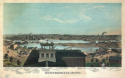
Panoramic view of the city of Minneapolis, Minnesota, 1879. Drawn by A. Ruger. Beck & Pauli, lith.
Saint Paul, Minnesota 1867. Drawn by A. Ruger.
Bird's eye view of Shakopee, Scott County, Minnesota 1869. Drawn by A. Ruger & Stoner.
Lake City, Wabasha Co., Minnesota 1867. Drawn by A. Ruger.
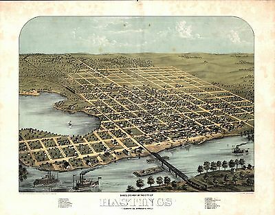
Bird's eye view of the city of Hastings, Dakota Co., Minnesota 1867. Drawn by A. Ruger.
Bird's eye view of Anoka, Anoka County, Minnesota 1869. Drawn by A. Ruger.
Birds eye view of the city of Winona, Minnesota 1867. Drawn by A. Ruger.
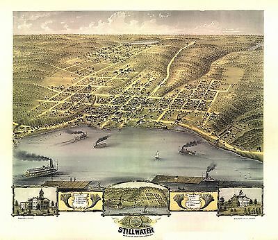
Bird's eye view of the city of Stillwater, Washington County, Minnesota 1870. Drawn by A. Ruger.
Bird's eye view of Northfield, Rice County, Minnesota 1869. Chicago Lith. Co.
St. Paul to Riviere des Lacs : from explorations and surveys / made under the direction of the Hon. Jefferson Davis, Secretary of War by Isaac I. Stevens Governor of Washington Territory, 1853-4.
Bird's eye view of the city of Redwing, Coodhue [sic] Co., Minnesota 1868. Drawn by A. Ruger.
Galbraith's railway mail service maps, Minnesota. c1898
Bird's eye view of the city of Saint Cloud, Stearns County, Minnesota 1869. Drawn by A. Ruger.
Bird's eye view of Owatonna, Steele County, Minnesota 1870. Merchants Lithographing Co.
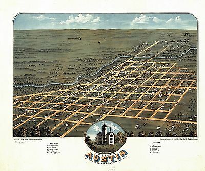
Bird's eye view of Austin, Mower County, Minnesota 1870. Chicago Lithogrs. Co.
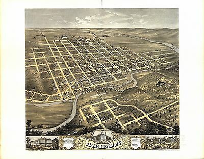
Bird's eye view of the city of Faribault, Rice County, Minnesota 1869. Drawn by Prof. A. Ruger.
Bird's eye view of the city of Saint Peter, Nicollet County, Minnesota 1870. Merchants Lith. Co.
Bird's eye view of the city of Rochester, Olmsted County, Minnesota 1869. Merchants Lithographing Co.
Bird's eye view of New Ulm, Brown County, Minnesota 1870. Drawn by A. Ruger. Chicago Lithog. Co.
Minneapolis, Minn. Hoffman ; Chas. Shober & Co. Props. Chicago Litho. Co. c1874
St. Paul, Minnesota 1883 : state capital and county seat of Ramsey Co. / drawn by H. Wellge.
Superior National Forest, Minnesota : 1994 / compiled and drafted at the Regional Office, Milwaukee, Wis., 1962
Panorama of Minneapolis, Minn. Engraved, printed and published by A. Hageboeck. 1873
St. Paul, Minn. c1906
Panorama of St. Paul, Minn. Engraved, printed and published by A. Hageboeck. 1873
Bird's-eye view of St. Paul, looking west from Dayton's Bluff. c1893
Brainerd, "City of Mines." [Signed:] McCoy. Duluth Photo-Engraving Co. c1914
Birds eye view of the city of Minneapolis, Minn. 1891
St. Paul, Minn. : ice palace and winter carnival souvenir / Marr-Richards Engravers, Milwaukee. c1887
Winona, Minn. 1889. C. J. Pauli, del.
Bird's eye view of Minneapolis, Minn. F. Pezolt, artist. E. G. Christoph Lith. Co. c1891
View of Duluth, Minn. 1883. Drawn by H. Wellge. Beck & Pauli, lithographers.
Chapman's rail road map of Ohio, Indiana, Michigan, Illinois, Missouri, Minnesota, & Wisconsin. 1859
Perspective map of Duluth, Minn. 1887. Drawn by H. Wellge. Beck & Pauli Lith.
Winona, Minn. By Geo. H. Ellsbury & Vernon Green. 1874
The twin ports, Superior, Wisconsin, Duluth, Minnesota. H. Wellge, del. Freeman Eng. Co. c1915
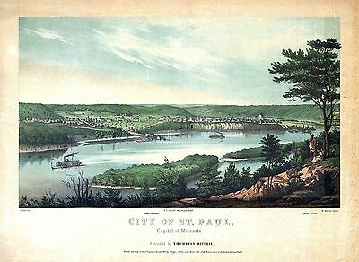
City of St. Paul, capital of Minesota / published by Thompson Ritchie ; Strobel, delt. ; on stone by J. Queen. 1853
Map showing the location of the Chicago & Northwestern Railway with its branches & connections through Illinois, Iowa, Nebraska, Wisconsin, Minnesota, Michigan.1862
Map showing the location of the Galena & Chicago Union Railroad with its branches & connections in Illinois, Wisconsin, Iowa and Minnesota. 1862
Map of the northwestern states. Shewing [sic] what proportion lies north of the parallel of South Bend of Lake Michigan. It will be seen at a glance, that the unbroken line of communication with the Atlantic seaboard, and the only winter route for northern Indiana, northern Illinois, Michigan, Iowa, Wisconsin, and Minnesota, will be by the Michigan Southern Railway, and south shore of Lake Erie. 1850
Map military reconnaissance Dep't Va. : [Hampton Roads and Norfolk regions, Va.] / drawn and compiled under the direction of Col. T.J. Cram, Chief Top'l Enge'r Dep. Va. ; by Sergt. Ch. Worret. Locates the "Minnesota 8 & 9 March 1862 on ground" and the "Monitor & Merrimac engagement on the 9th of March 1862".
0027007
0041025
0073009
0149054
0151061
0152058
0160002
0204002
0352042
0358046
0425063
0537035
0565025
0572036
0586039
0592042
0594040
0960101
1012072
1070006
1071010
1362002
1550055
1582001
1582006
1662002
1665002
1690120
1875001
1875002
1875A
1875B
1954089
2054045
2094036
2094037
2129002
2134080
2212246
2239023
2307019
2379002
2380002
2381002
2449089
2483035
2585074
2710028
2743011
2809032
2844054
2861017
2871027
3034012
3034024
3034167
3034168
3034169
3034170
3034171
3034172
3034173
3034174
3034175
3034176
3034177
3034178
3034179
3034180
3034181
3034182
3034183
3034184
3416002
3426002
3468002
3471001
3565123
3565124
3787003
3803040
3825007
3888044
3939002
4295000
4296000
4324017
4328038
4520020
4557036
4574037
4583002
4587056
4727031
4740049
4809003
4825059
4835046
4866058
4977050
5028093
5028094
5028095
5028099
5028104
5041033
5198017
5244001
5244A
5244B
5250001
5250A
5250B
5370019
5398002
5406004
5407002
5420002
5479095
5745062
5755021
5755047
5784040
5797078
5802006
6322184
6727038
6921126
Features of this DVD
This auction is for a DVD of the maps listed in electronic form,
NOT
the maps themselves.
These maps are VERY high resolution and can be printed at FULL SCALE or LARGER for framing and display. The results are very high quality and convincing.
Ad and disk copyright 2013
Euriskodata
All Rights Reserved
Powered by
eBay Turbo Lister
The free listing tool. List your items fast and easy and manage your active items.
